Apple continues to build upon the Transit coverage of Apple Maps, today adding the Dallas-Fort Worth metroplex and the City of San Antonio to supported areas in Texas. The support marks the first expansion of Transit coverage beyond the state's capital of Austin.
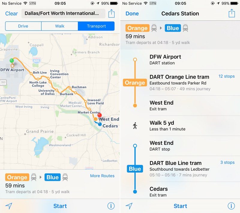
In Dallas-Fort Worth, Apple will **w offer up routes that include transportation by the Dallas Area Rapid Transit (DART) light rail commuter service and streetcar line, as well as the Skylink at DFW Airport.
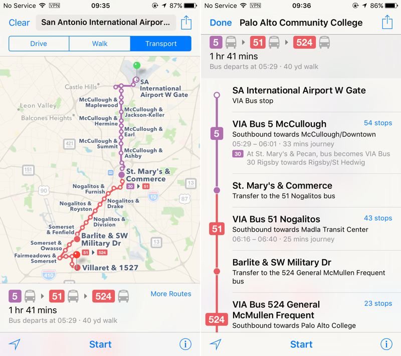
In San Antonio, coverage is concentrated within the Con**lly Loop (Interstate 410), and takes in the city's VIA Metropolitan Transit system.
Transit directions were first added to Apple Maps in 2015 as part of iOS 9. At launch, Transit information was only available in a handful of cities, but Apple has been working hard to expand the feature to additional locations.
Transit Data is **w available in more than 20 cities around the world, along with dozens of cities in China.


 08-15-2016, 04:06 PM
 Apple Maps Expands Transit Data to San Antonio and Dallas-Fort Worth


 العرض العادي

